Remote sensing is a way to study the Earth from afar. It uses special sensors on satellites or planes to collect data. This method helps us learn about our planet without being there in person. It’s used for many things like checking the environment, managing resources, planning cities, and helping during disasters.
This method is based on catching and measuring the radiation that Earth sends out. Satellites and planes have special cameras to do this. They turn this radiation into data and pictures. By looking at this data, scientists can learn about things like plants, water, and how people use the land.
Key Takeaways
- Remote sensing is the science of getting and understanding data from far away. It uses special sensors on satellites or planes.
- This method depends on catching and measuring the radiation Earth sends out. This can be from the ground or the air.
- The data from remote sensing is very useful. It helps with things like watching the environment, managing resources, planning cities, and responding to disasters.
- Remote sensing tools like satellites and planes capture this radiation. They turn it into data and pictures we can use.
- By looking at this data, scientists can learn about the Earth’s features. This includes things like plants, water, and how people use the land.
Introduction to Remote Sensing
Remote sensing is a key technology that lets us collect data without touching the Earth’s surface. It uses sensors on satellites or aircraft to measure the electromagnetic radiation from the Earth. This info helps us understand the environment, land use, and natural resources.
This tech has many uses in areas like environmental monitoring, urban planning, and disaster response. It gives us a clear view of the Earth’s systems. This helps us see how the earth’s surface, atmosphere, and human actions are connected.
Remote sensing data creates detailed imagery and geospatial data. These products are analyzed with advanced data analysis methods. This helps us monitor and manage the environment, society, and economy on a global level.
“Remote sensing is the science of making measurements of the Earth using sensors on airplanes, satellites, or other platforms.” – National Aeronautics and Space Administration (NASA)
Remote sensing is vital for studying and understanding our planet. It’s a key part of modern earth observation and data collection efforts.
Principles of Remote Sensing
Electromagnetic Radiation
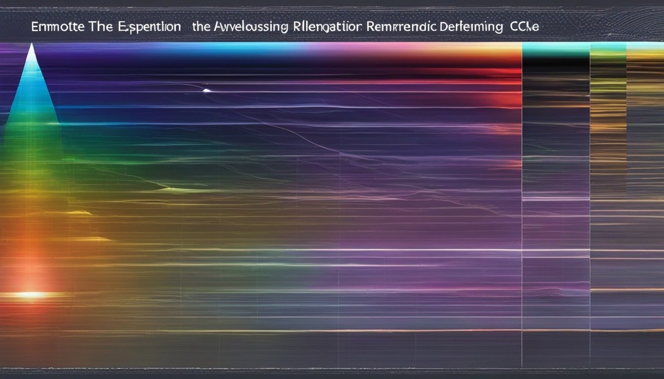
Remote sensing uses the interaction between electromagnetic radiation and the Earth. This radiation is made up of waves that move at the speed of light. They have a wavelength and frequency.
Remote sensing tools detect how much radiation is reflected, absorbed, or emitted by the Earth’s objects. This interaction is called the spectral signature. It depends on the object’s chemical and physical traits.
The visible light spectrum is a small part of the non-visible spectrum. It ranges from 400 to 700 nanometers (nm). Other types like infrared, ultraviolet, and microwave are also important in remote sensing. Each has its own special uses.
An object’s albedo shows how it interacts with radiation. This helps in identifying and classifying Earth’s materials and features. It’s key for using remote sensing in fields like environmental monitoring and urban planning.
| Wavelength Range | Frequency Range | Characteristics |
|---|---|---|
| Visible Light: 400-700 nm | Visible Light: 430-750 THz | Detected by the human eye, used for color imagery |
| Infrared: 700 nm – 1 mm | Infrared: 300 GHz – 430 THz | Detected by infrared sensors, used for thermal imaging |
| Ultraviolet: 10-400 nm | Ultraviolet: 750 THz – 30 PHz | Detected by ultraviolet sensors, used for atmospheric studies |
| Microwave: 1 mm – 1 m | Microwave: 300 MHz – 300 GHz | Detected by radar systems, used for weather monitoring and mapping |
The basics of remote sensing come from understanding how electromagnetic radiation interacts with the Earth. By studying wavelength, frequency, absorption, reflection, and transmission, experts can learn a lot about the Earth.
Remote Sensing Platforms
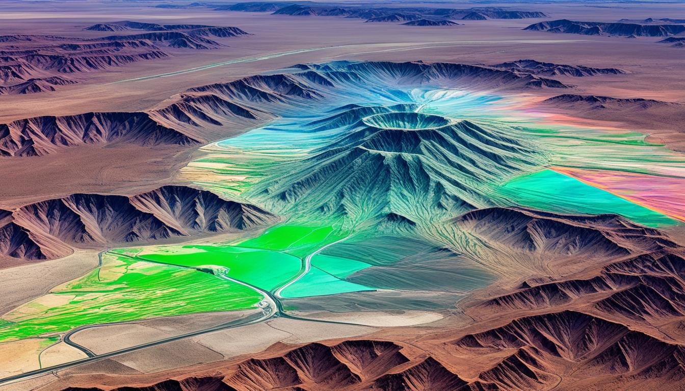
Remote sensing covers a wide range of platforms that help us understand our planet. From satellites in space to drones flying low, each platform has its own strengths. They meet different needs and help us in various ways.
Satellites are key in remote sensing. They give us a view of Earth from space, sitting in orbits like low-Earth orbit and geostationary orbit. These remote sensing platforms collect data with high and low spatial resolution and temporal resolution. This lets us see everything from global weather patterns to changes in local land use.
| Orbit Type | Altitude | Spatial Resolution | Temporal Resolution | Examples |
|---|---|---|---|---|
| Low-Earth Orbit | 160-2,000 km | High (1-30 m) | Moderate (2-16 days) | Landsat, SPOT, WorldView |
| Medium-Earth Orbit | 2,000-35,786 km | Moderate (30-250 m) | Moderate (1-7 days) | GPS, GLONASS |
| Geostationary Orbit | 35,786 km | Low (250-1,000 m) | High (continuous monitoring) | GOES, Meteosat |
Aircraft and drones are also important for remote sensing. They can get high-resolution data over small areas. This complements the wide view satellites provide, giving us a full picture of the Earth.
“The ability to observe our planet from space has transformed our understanding of the Earth and its processes. Remote sensing platforms are essential tools for monitoring and managing our global resources.”
Passive and Active Remote Sensing
Remote sensing lets us study the Earth from afar. It’s split into two main types: passive and active remote sensing.
Passive Sensors
Passive sensors measure energy the Earth sends out or reflects. They use tools like radiometers and spectrometers. These tools look at how much energy is there and what kind it is.
By looking at this data, scientists learn about the Earth and its atmosphere. They can figure out things like what the surface is made of.
Active Sensors
Active sensors use their own energy, like radar or lidar, to see the Earth. This way, they can see through clouds and other things that hide the view. They give us a lot of details about the Earth’s surface and air.
Both kinds of remote sensing are key for learning about our planet. They help us see changes in the land, air, and water. This info helps us make better choices for the planet and its people.
| Passive Remote Sensing | Active Remote Sensing |
|---|---|
| Measures natural energy emitted or reflected by the Earth’s surface and atmosphere | Utilizes an artificial energy source to illuminate the target and measure the reflected or scattered energy |
| Examples include radiometers and spectrometers | Examples include radar and lidar systems |
| Can be limited by atmospheric conditions, such as cloud cover | Can penetrate atmospheric conditions, such as cloud cover |
| Provides information about the physical and chemical properties of observed targets | Provides detailed information about the structure, texture, and composition of the Earth’s surface and atmosphere |
Passive and active remote sensing are both crucial for understanding our planet. Together, they help us make smart choices for the environment and society.
Spatial, Spectral, and Temporal Resolution
The quality of remote sensing data depends a lot on its spatial resolution, spectral resolution, and temporal resolution. It’s key to know these concepts well when picking the right remote sensing tech for your needs.
Spatial Resolution: This is about how small an object can be shown in an image. It’s based on the pixel size of the sensor. A higher spatial resolution means smaller pixels, giving you more detailed and precise maps of the ground.
Spectral Resolution: This is about how many and what kind of wavelength bands a sensor can see. With more spectral resolution, you get more info on what you’re looking at, like in multispectral and hyperspectral imaging.
Temporal Resolution: This is how often a sensor can take pictures of a place, or the satellite revisit time. A higher temporal resolution lets you track changes better over time. This is super useful for things like watching crops grow, responding to disasters, and managing the environment.
There’s also radiometric resolution to think about. This is about how well a sensor can spot small energy or brightness differences. This affects how accurate your data analysis and interpretation can be.
When choosing remote sensing tech, you need to weigh the trade-offs between these resolutions. Also, think about the data quality and analysis needs of your project.
| Resolution Type | Description | Importance |
|---|---|---|
| Spatial Resolution | The size of the smallest feature that can be detected | Determines the level of detail and accuracy in mapping objects and features |
| Spectral Resolution | The number and width of the wavelength bands detected | Provides more detailed information about the composition and characteristics of the target |
| Temporal Resolution | The frequency of data collection over a given area | Enables better monitoring of changes and dynamics over time |
| Radiometric Resolution | The sensor’s ability to detect small differences in energy or brightness | Impacts the accuracy of data analysis and interpretation |
remote sensing Applications
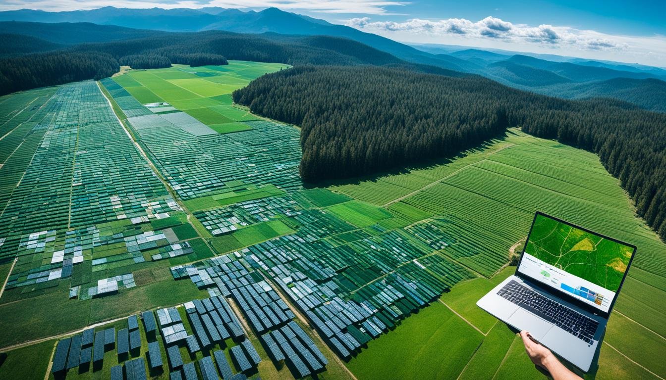
Remote sensing technology has changed how we see and interact with our world. It’s used in many areas, like environmental monitoring, natural resource management, urban planning, and disaster response.
In environmental monitoring, it tracks changes in land cover, vegetation health, and water quality. This helps with conservation and managing resources sustainably. For natural resource management, it maps and monitors resources like forests, minerals, and energy sources. This helps with better decision-making.
Urban planning uses remote sensing to map urban growth, infrastructure, and land use changes. This helps city planners make informed decisions. During disaster events, it helps assess damage and plan for recovery.
Remote sensing is also used in agriculture, forestry, hydrology, ecology, geology, oceanography, climate research, and atmospheric science. It supports research and operational activities, helping with decision-making and progress in these fields.
“Remote sensing provides a comprehensive, objective, and cost-effective way to monitor and manage our natural and built environments.”
The uses of remote sensing are many and growing. It helps us make informed, data-driven decisions that shape our world.
Image Processing and Analysis
Remote sensing data, like satellite images and aerial photos, go through many steps to get useful info. First, they are preprocessed. This turns raw data into accurate spatial and radiometric values.
Preprocessing
Preprocessing fixes sensor errors, aligns images with the right coordinates, and removes atmospheric effects. These steps make the data ready for deeper analysis.
Then, the data can be analyzed more with techniques like feature extraction and image classification. Tools like ENVI and GIS are often used for this. The aim is to turn raw data into useful info for many applications.
“The key to unlocking the value of remote sensing data lies in the effective processing and analysis of the information it provides.”
From fixing sensor errors to classifying images, processing and analyzing remote sensing data is key. With the right software and methods, experts can spot patterns, detect changes, and understand the Earth better.
Classification and Change Detection
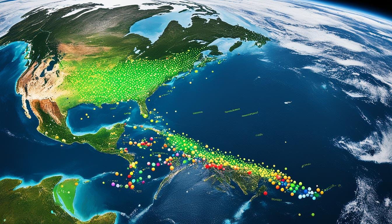
Remote sensing data is a key tool for image classification. It helps sort features and objects in images into specific groups. This is done by looking at the spectral signature of each pixel or object. The more spectral bands used, the more detailed the classification can be. Hyperspectral sensors offer the most detailed information.
There are two main ways to classify images: supervised classification and unsupervised classification. Supervised classification uses labeled data to train the algorithm. Unsupervised classification groups pixels by their spectral similarities without labels.
Remote sensing data is also great for change detection. It lets us see how things like land use/land cover change over time. This is key for tracking environmental, urban, and other changes. Tools like remote sensing software and geographic information systems (GIS) help with these analyses.
| Technique | Description |
|---|---|
| Supervised Classification | Involves training the algorithm using labeled data to identify specific classes or features in the image. |
| Unsupervised Classification | Allows the algorithm to identify patterns and group pixels based on their spectral signature without prior knowledge. |
| Change Detection | Compares multi-temporal images to identify and quantify changes in land use/land cover, vegetation, or other features over time. |
Using remote sensing data and advanced methods, experts can understand the Earth’s changing landscapes. This helps with making informed decisions and managing resources well.
Remote Sensing Data Sources
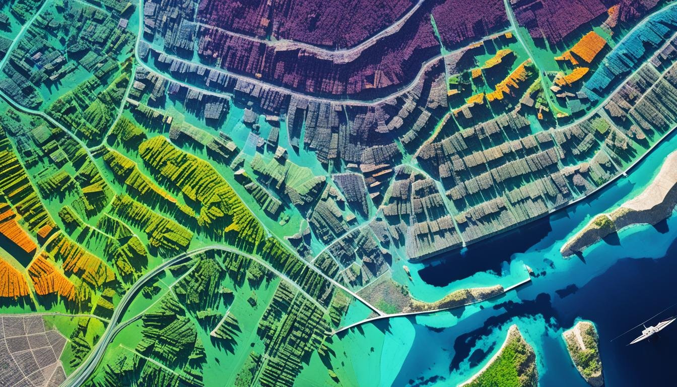
Remote sensing uses many data sources to unlock its potential. From satellites to aerial photos, it offers a lot of information. Let’s look at the main sources that make remote sensing useful for researchers and decision-makers.
The Landsat satellites are a big part of remote sensing. They are run by the USGS and NASA. Since the 1970s, they’ve taken high-quality photos of the Earth. MODIS and ASTER from NASA also provide data at different resolutions for various needs.
The European Space Agency (ESA) has added a lot to remote sensing with its Sentinel satellites. Sentinel-1, Sentinel-2, and Sentinel-3 give a wide range of data. This includes radar and photos, useful for many applications.
Commercial companies are also big in remote sensing. Planet and DigitalGlobe offer detailed satellite photos and aerial shots. They have fast updates and can process data in special ways for different industries and research.
Choosing the right remote sensing data is important. You need to think about resolution, quality, and format. Knowing these things helps make sure the data fits your needs.
| Data Source | Sensor Type | Key Features | Spatial Resolution |
|---|---|---|---|
| Landsat | Multispectral | Long-running, open-source satellite program | 15-30 meters |
| MODIS | Multispectral | High temporal resolution, global coverage | 250-1000 meters |
| Sentinel | Multispectral, SAR | Free and open access, diverse data products | 10-60 meters |
| Planet | Multispectral, high-resolution | Frequent revisit, high-resolution imagery | 3-5 meters |
There are many remote sensing data sources, both free and paid. This helps researchers and decision-makers solve many problems. Knowing what each source offers lets users make smart choices for their projects.
Challenges and Future Trends
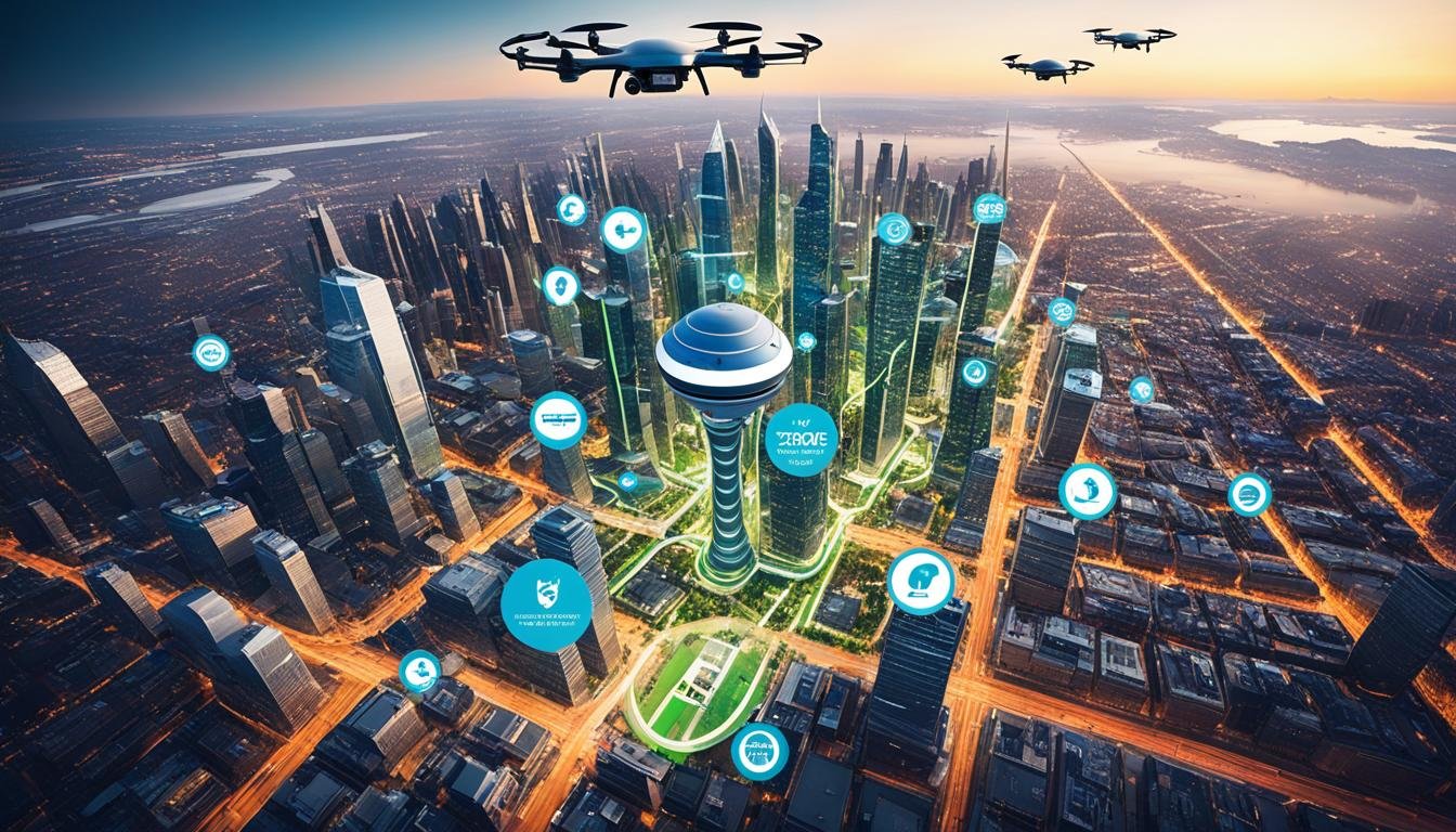
Remote sensing is a key tool for studying our planet. Yet, it faces big challenges. The main issue is the huge amount of data from satellites and drones. This data needs advanced tools to be handled well.
New tech like cloud computing, artificial intelligence, and machine learning are helping. They make it easier and faster to analyze the data. This lets researchers get valuable insights from the data.
Combining data from different sensors is also key. This data fusion and multi-sensor integration give us a better view of Earth. It helps in making better decisions in areas like environmental monitoring, natural resource management, urban planning, and disaster response.
As remote sensing gets better, we can expect more from it. Emerging technologies, like deep learning, will open new doors. They promise more precise and insightful data that can guide important decisions for our planet.
| Challenge | Description | Potential Solution |
|---|---|---|
| Data Volume | Remote sensing creates a lot of data, which is hard to handle. We need better ways to process and manage it. | Cloud Computing and Artificial Intelligence are helping. They make analyzing data more efficient and effective. |
| Data Processing | Remote sensing data is complex. It has different resolutions and formats. This makes processing and analyzing it hard. | Machine Learning and Deep Learning algorithms are being developed. They automate and improve data processing tasks. |
| Data Management | Handling the vast amounts of remote sensing data is tough. We need strong systems and strategies for it. | Big Data technologies and Cloud Computing platforms offer scalable and cost-effective solutions for managing remote sensing data. |
The remote sensing field is always changing. Meeting these challenges and using emerging technologies is key. It will unlock the full potential of remote sensing in Earth observation, environmental monitoring, and many other areas.
Also Read : What Are The Types Of Cloud Computing?
Conclusion
Remote sensing is a game-changer, giving us deep insights into our planet. It uses many platforms, sensors, and methods to collect data. This data helps us tackle big challenges and make smart decisions in areas like the environment, managing resources, planning cities, and responding to disasters.
The field of remote sensing is growing, with new tech like better data processing, artificial intelligence, and combining different sensors. These advances promise to make remote sensing even more powerful. They will help us understand and manage Earth’s complex systems better. This will support the long-term health of our planet and communities.
By using remote sensing, we can do more to watch over, manage, and protect our planet. It helps us keep an eye on land use, natural resources, and urban planning. Remote sensing data and analytics will be key in making smart decisions and creating a sustainable future.
FAQs
Q: What is remote sensing?
A: Remote sensing is the science of acquiring information about an object or phenomenon without making physical contact with it. It involves the use of sensors on aircraft or satellites to collect data from a distance.
Q: How does remote sensing work?
A: Remote sensing works by detecting and measuring the physical properties of objects through the analysis of data collected by remote sensors, such as satellites or aircraft. Different types of sensors capture data that can be used to create images or maps of the Earth’s surface.
Q: What are some common applications of remote sensing?
A: Remote sensing is used in a variety of fields, including agriculture, forestry, urban planning, environmental monitoring, disaster response, and more. It helps in mapping land cover, monitoring vegetation health, assessing water quality, and detecting changes in the environment.
Q: What is satellite imagery in remote sensing?
A: Satellite imagery in remote sensing refers to the images captured by satellites orbiting the Earth. These images provide valuable data for various applications, including monitoring the Earth’s surface, tracking weather patterns, and analyzing changes over time.
Q: How is vegetation studied through remote sensing?
A: Vegetation can be studied through remote sensing techniques that analyze the spectral properties of plants. By measuring the reflectance of different wavelengths of light, remote sensors can determine information about vegetation health, biomass, and species composition.
Q: What is the role of GIS in remote sensing?
A: Geographic Information Systems (GIS) play a crucial role in remote sensing by providing a platform for visualizing, analyzing, and interpreting spatial data collected through remote sensing. GIS enables the integration of remote sensing data with other geospatial information for informed decision-making.
Q: How is lidar used in remote sensing?
A: Lidar (Light Detection and Ranging) is a remote sensing technique that uses laser pulses to measure distances to the Earth’s surface. It is commonly used for creating high-resolution elevation models, mapping vegetation structure, and monitoring changes in the landscape.


